This item has been added to your cart!
View CartMichael Enterprises Inc./
Wood Chart Salish Sea
$379.00
IN-STORE PICKUP ONLY
Style : SALI-D5L
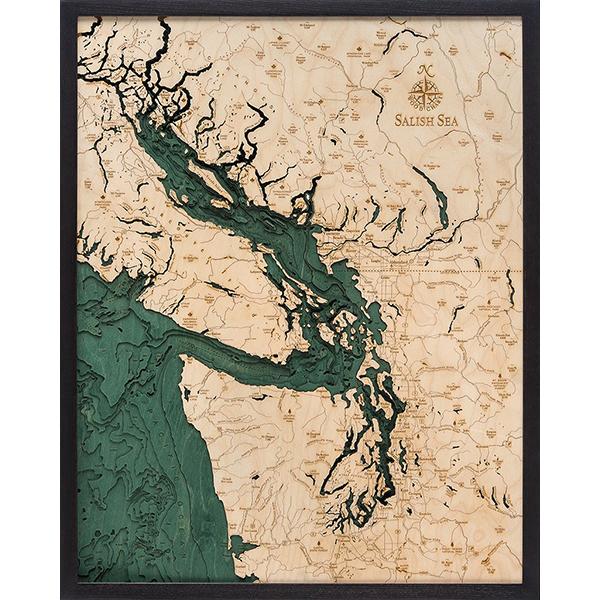
A wonderfully creative blend of digital technology and good old-fashioned wood, this 3-dimensional map of a body of water and the adjacent terra firma is fascinating. Starting with scans of a bathymetric chart (the underwater equivalent of a topographic map), laser-cutters are employed to carve the contours into sheets of Baltic birch plywood. The sheets are then glued together to create a powerful visual depth. The water layers are stained blue-green, so it's easy to discern land from water, major byways are etched into the land layers, then the whole thing is framed in a custom, solid-wood frame, and protected with a sheet of durable, ultra-transparent plexiglass. The Salish Sea Wood Chart measures 24.5" x 31". An intricate network of coastal waterways, the Salish (SAY-lish) Sea includes the Strait of Georgia, the Strait of Juan de Fuca, Puget Sound, and all of their connecting channels and adjoining waters. This name was only recently made official (2009), in an effort to raise consciousness about the interconnectedness of the region's waters and ecosystems. On this Wood Chart, you can see Vancouver, Seattle, the Pacific Ocean, Olympic National Park, Vancouver Island, Puget Sound, San Juan Island, Kitsap Peninsula, Victoria, B.C., and the North Gulf Islands.

